Field notes — Port-Blanc, Penvénan, Côtes-d’Armor, Bretagne
→ English below
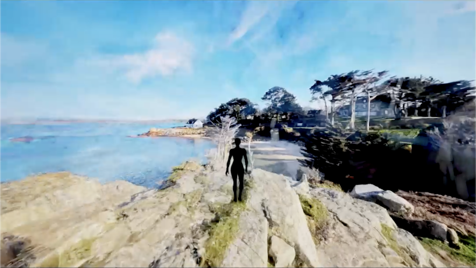
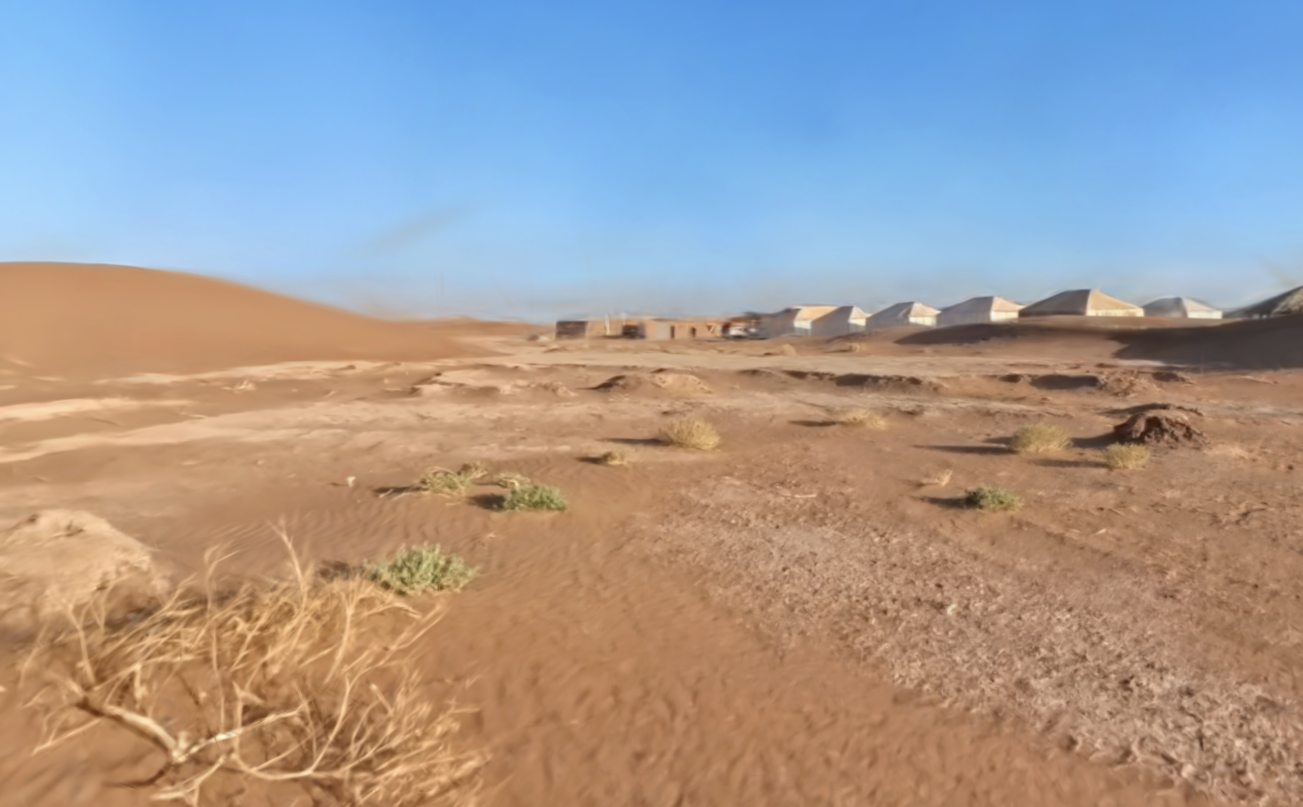
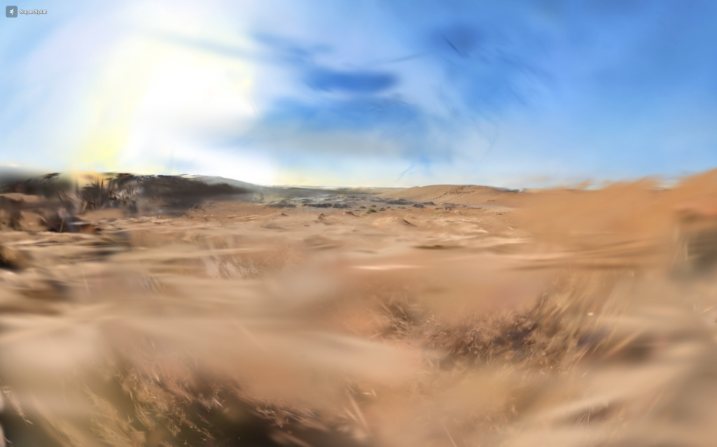
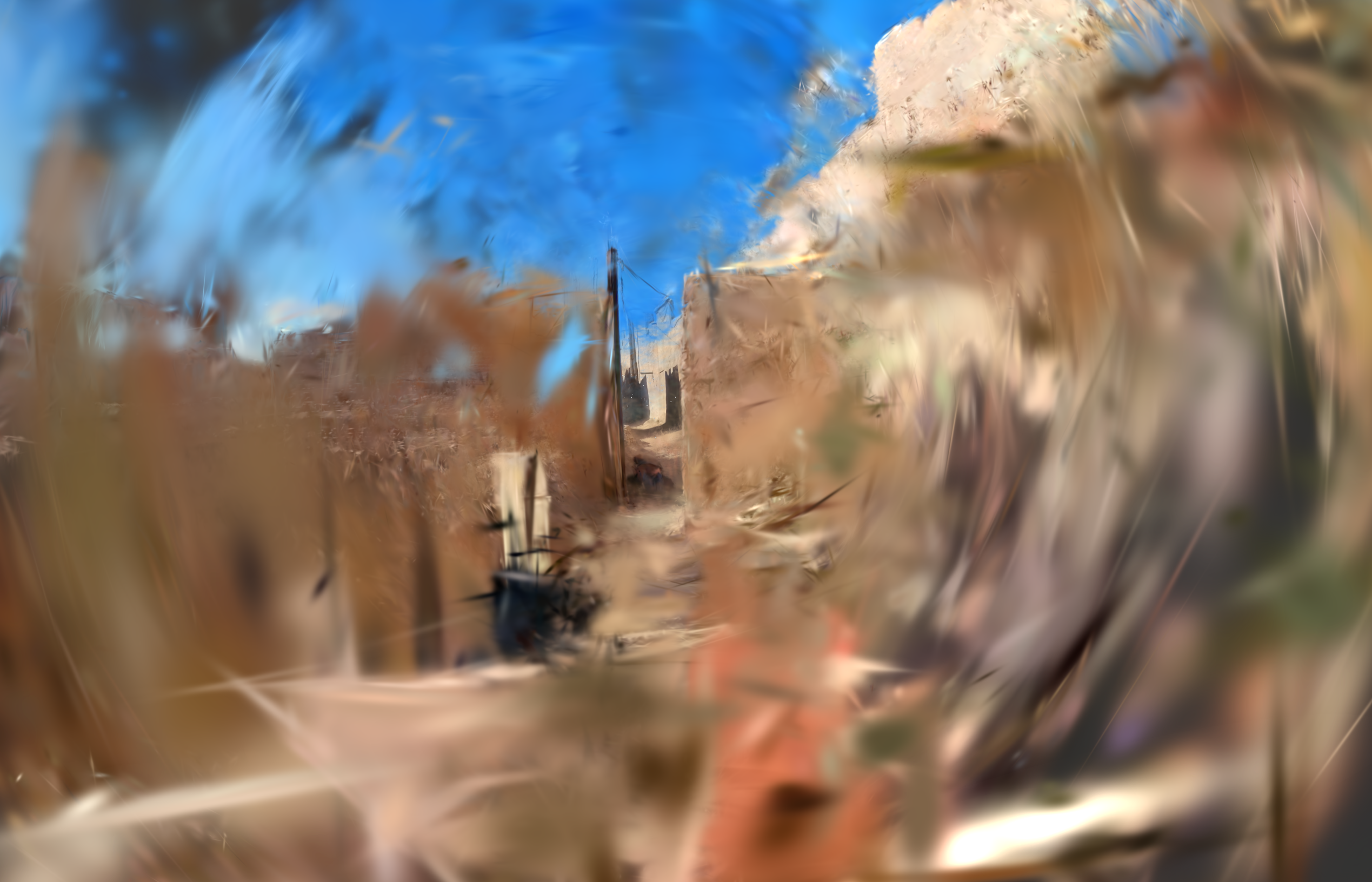
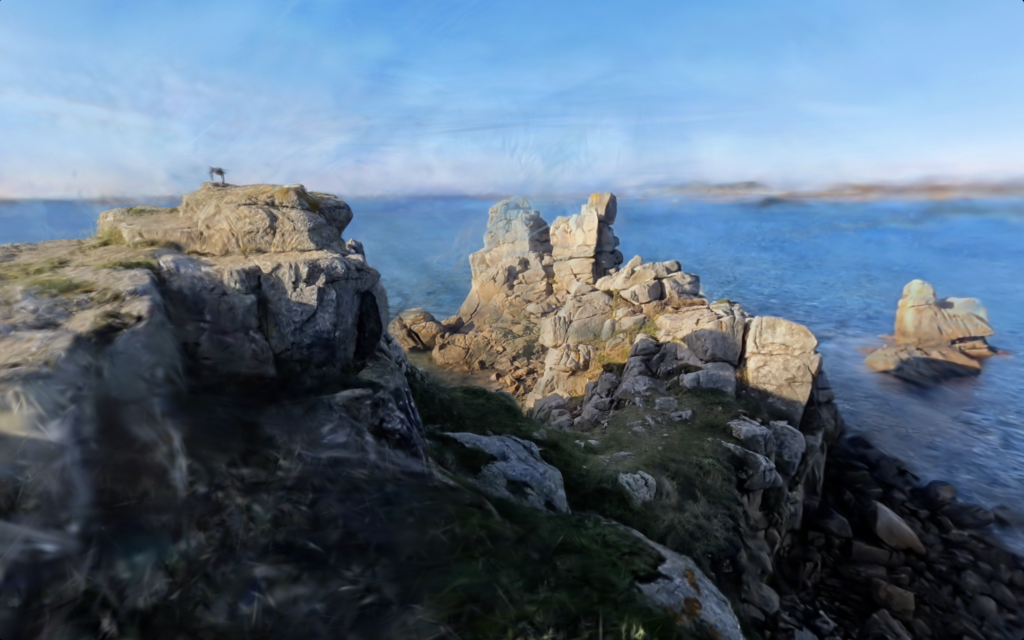
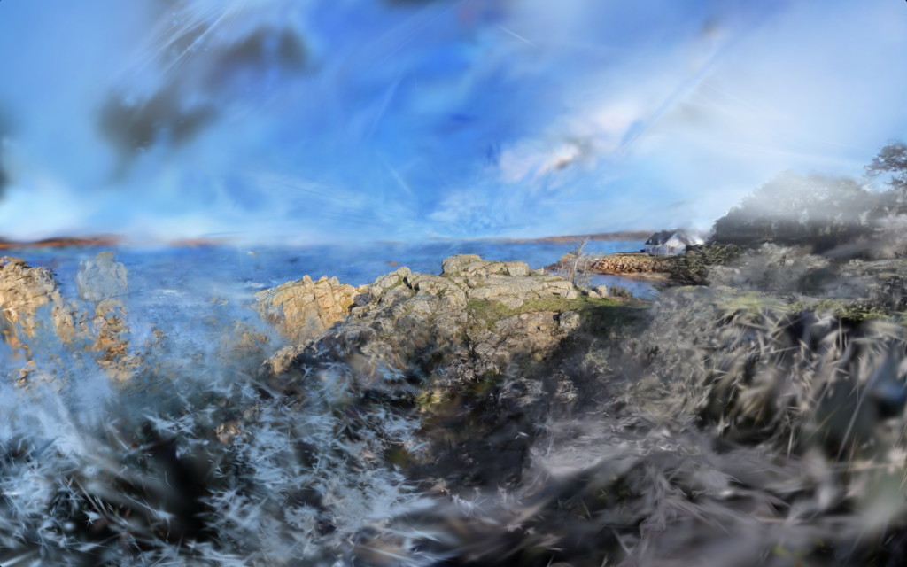
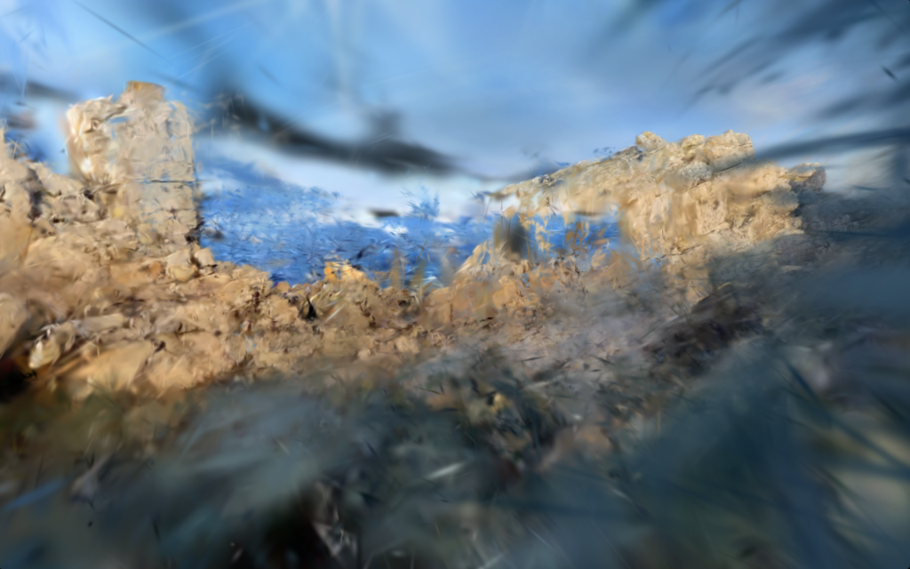
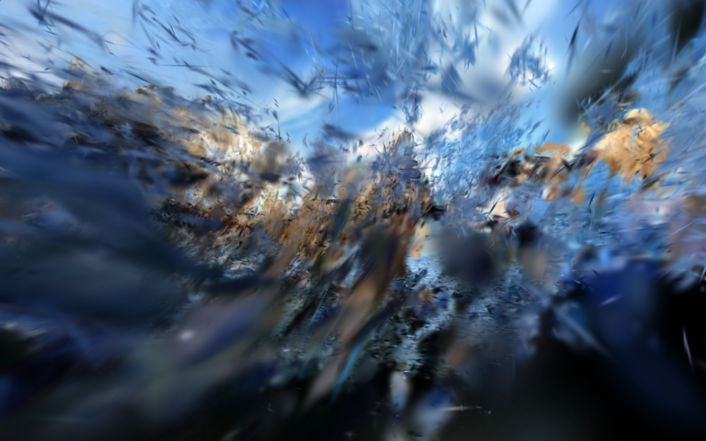
Port-Blanc, Penvénan, le Rocher du Voleur.
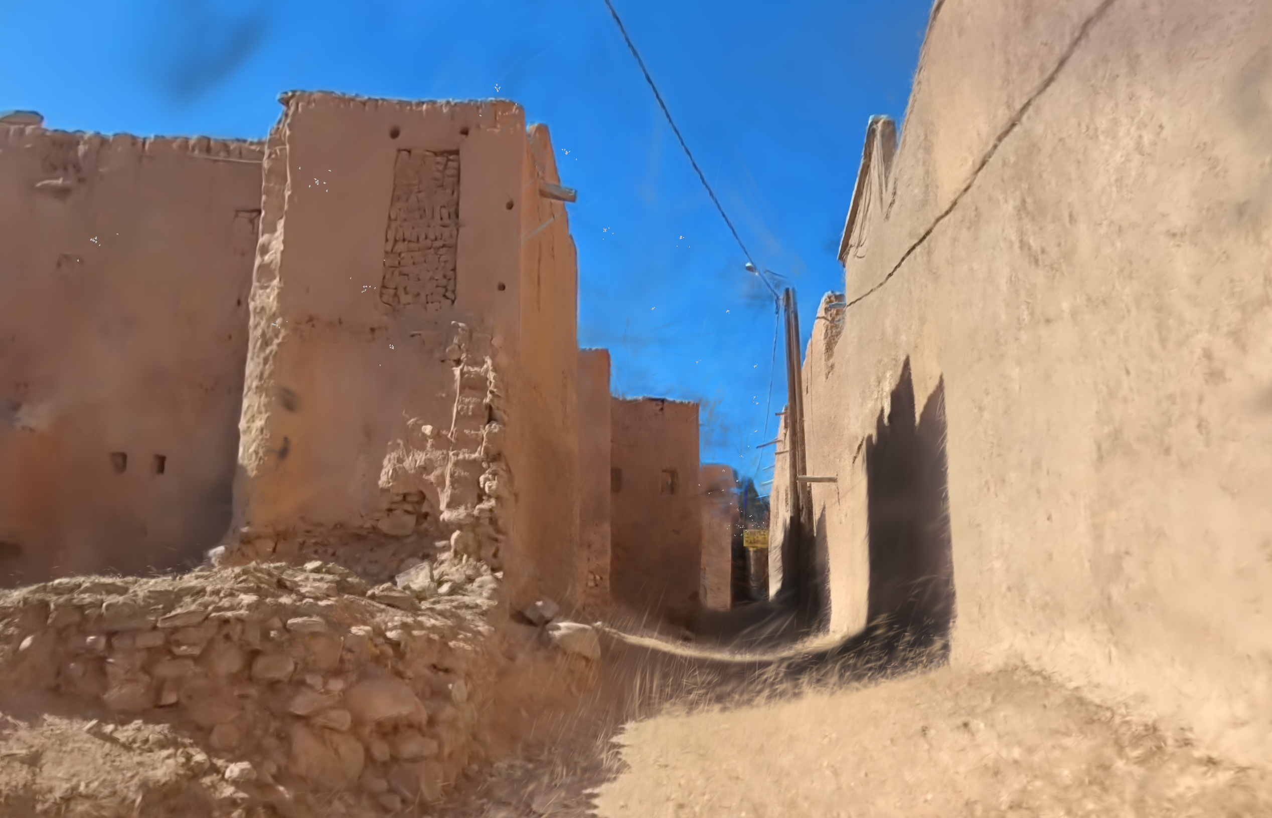
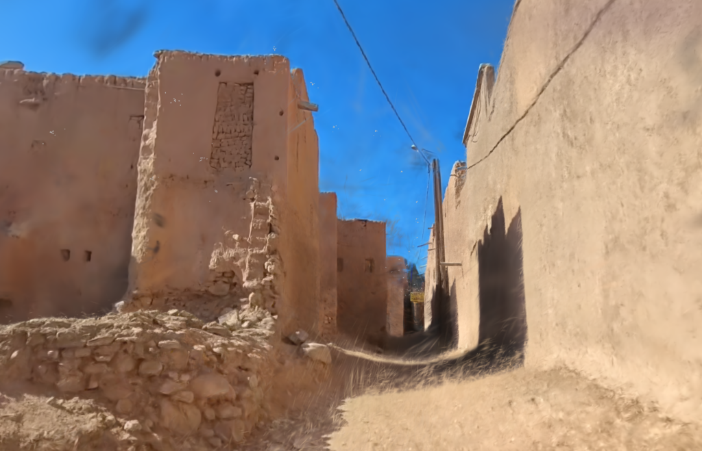
Sentier côtier sur la falaise, reconstruit par Gaussian Splatting.
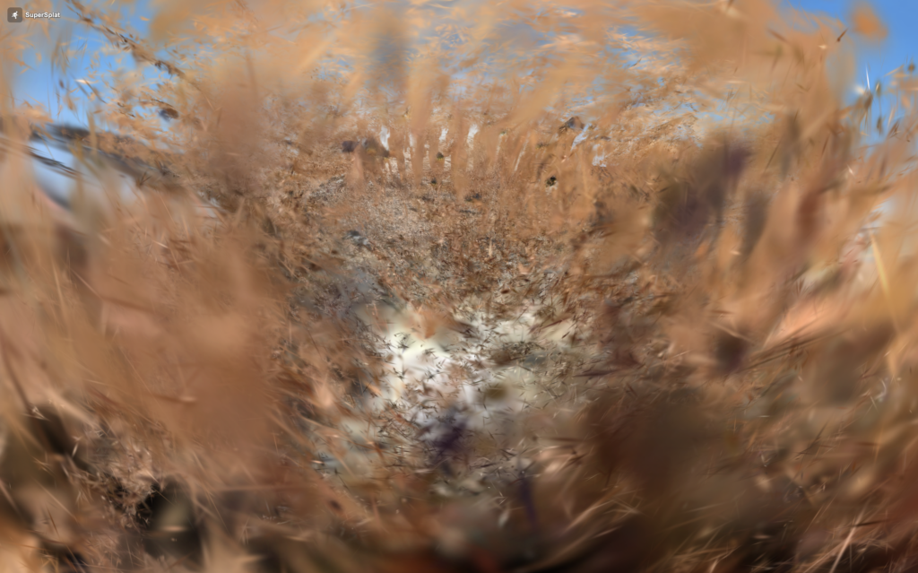
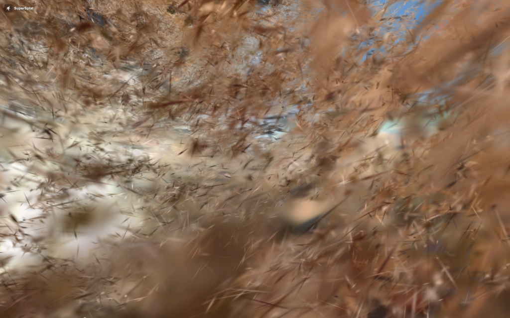
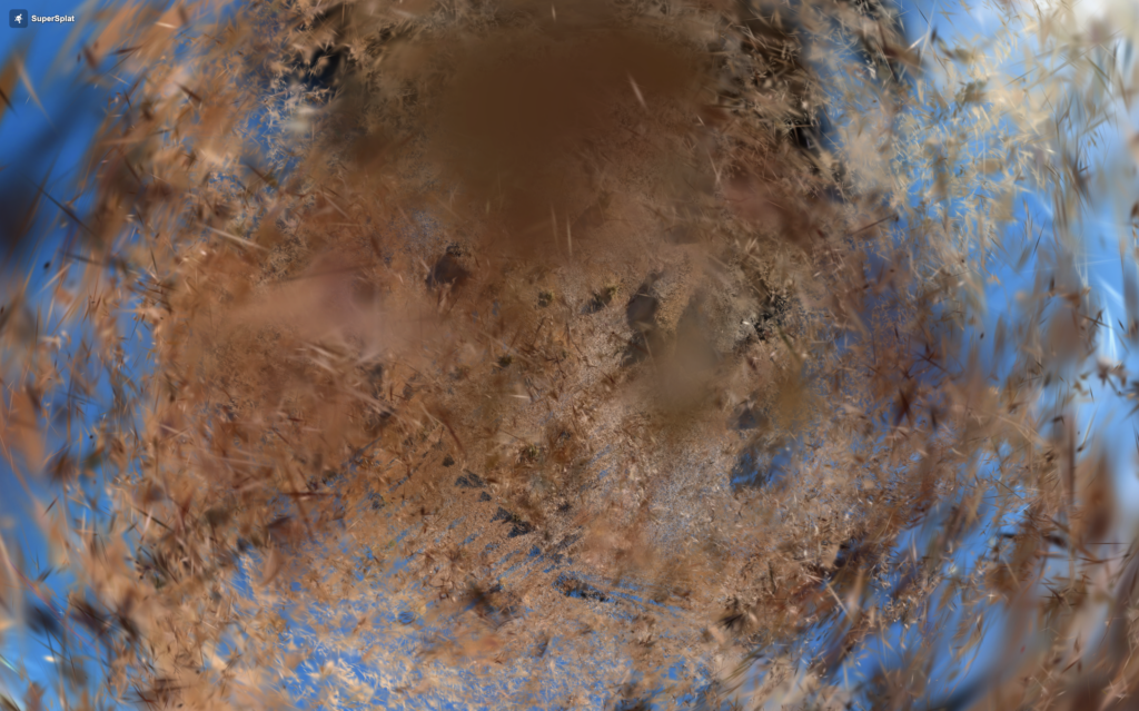
- Seuls les éléments proches de la trajectoire de capture sont restitués avec précision : la roche, le chemin, l’herbe rase.
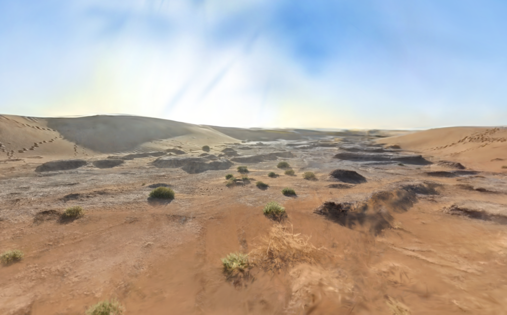
- L’horizon reste flou et instable, totalement dépendant du point de vue du spectateur dans la scène entre ciel, terre et mer.
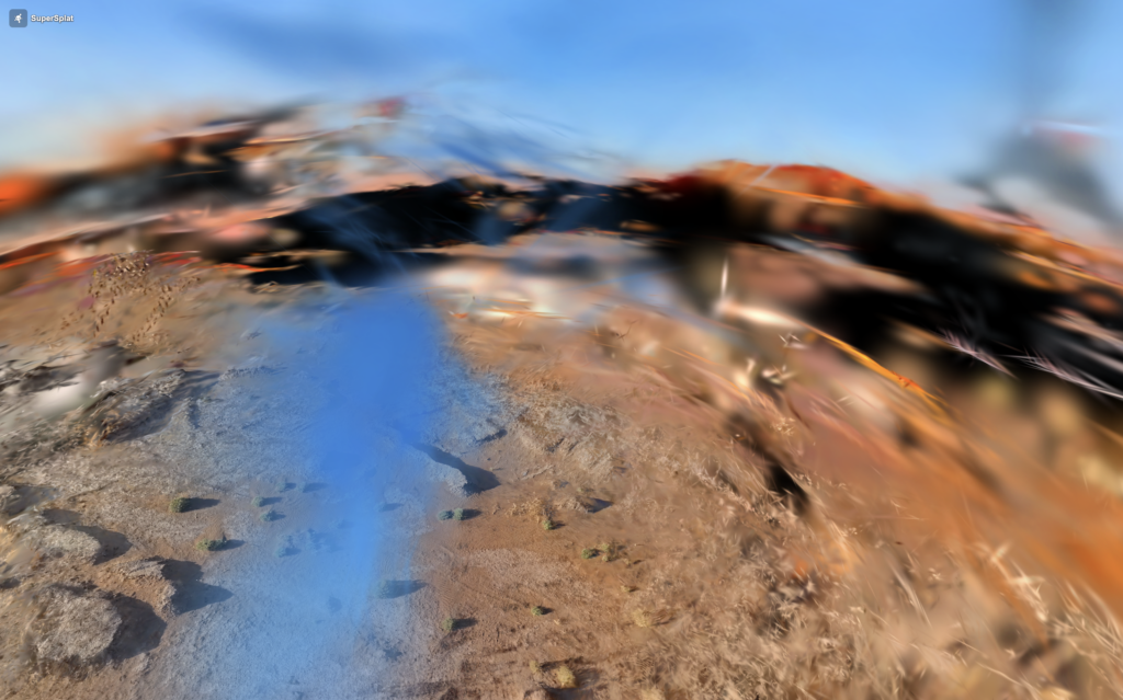
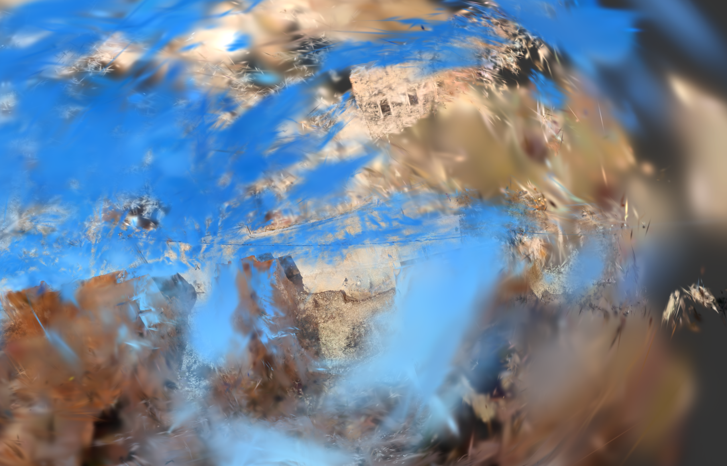
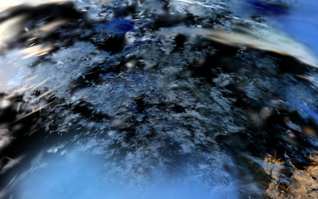
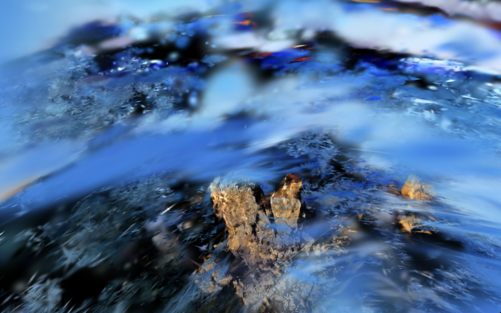
- La mer ne peut pas être capturée — constamment en mouvement, elle échappe à l’algorithme qui a besoin de surfaces stables. Elle se dissout dans un ensemble uniforme de splats flous de loin, qui éclate en particules abstraites de près. En dirigeant le regard vers l’eau, la mer devient un champ de particules qui composent une surface que l’algorithme n’a jamais vraiment vue.
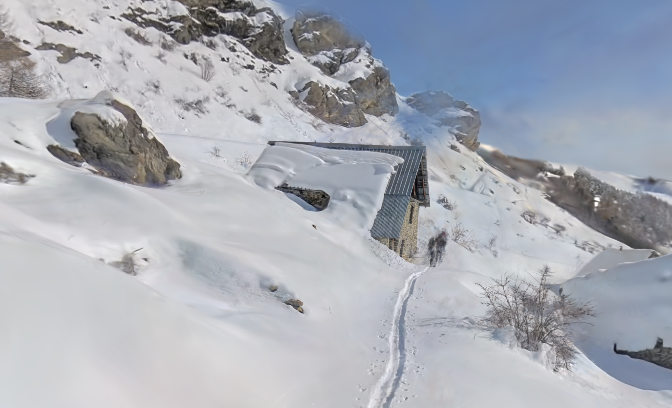
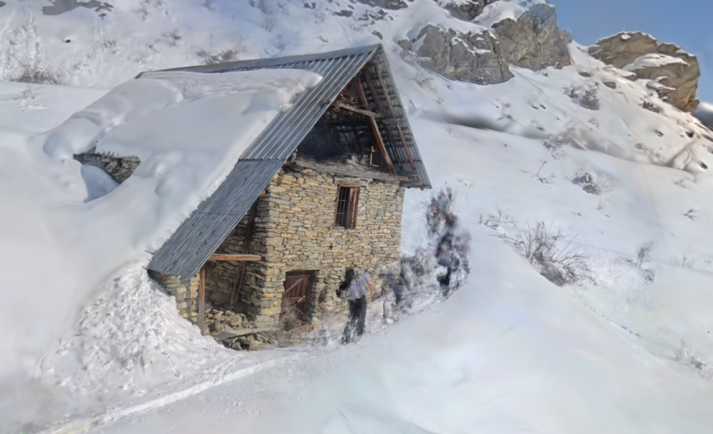
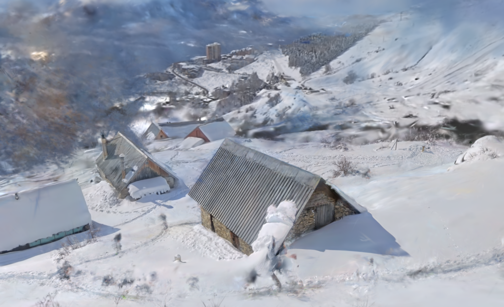
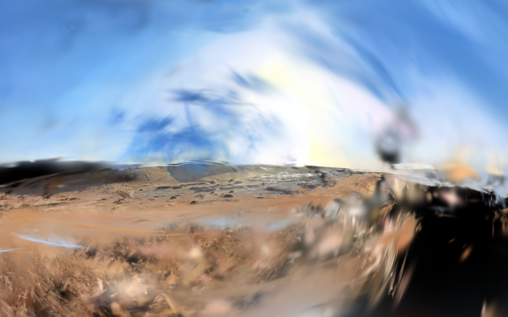
- En changeant la hauteur du point de vue dans la scène, on voit apparaître plusieurs nappes de splats à différentes altitudes. L’algorithme a créé ces layers pour satisfaire différents points de vue du dataset — traces de cette logique de reconstruction par vues.
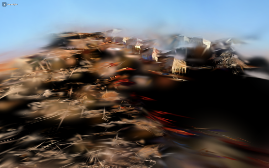
- Les images à la limite du radiance field révèlent la structure de la reconstruction : captures de vues en plongée, contre-plongée, depuis les bords de la zone capturée.
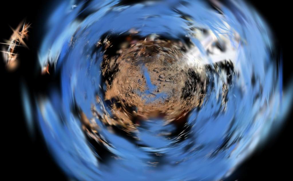
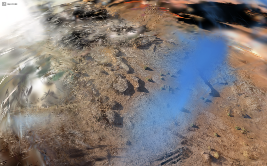
- Il est possible d’avoir une vue “depuis sous l’eau” sans jamais y être entré.
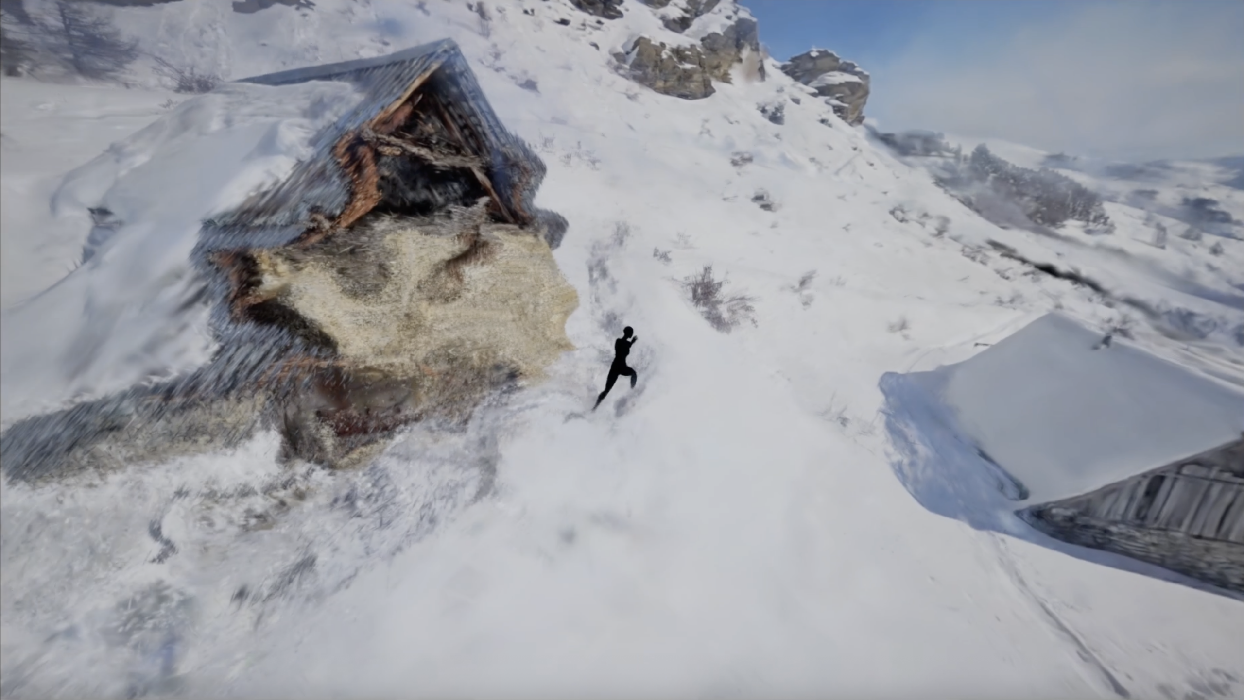
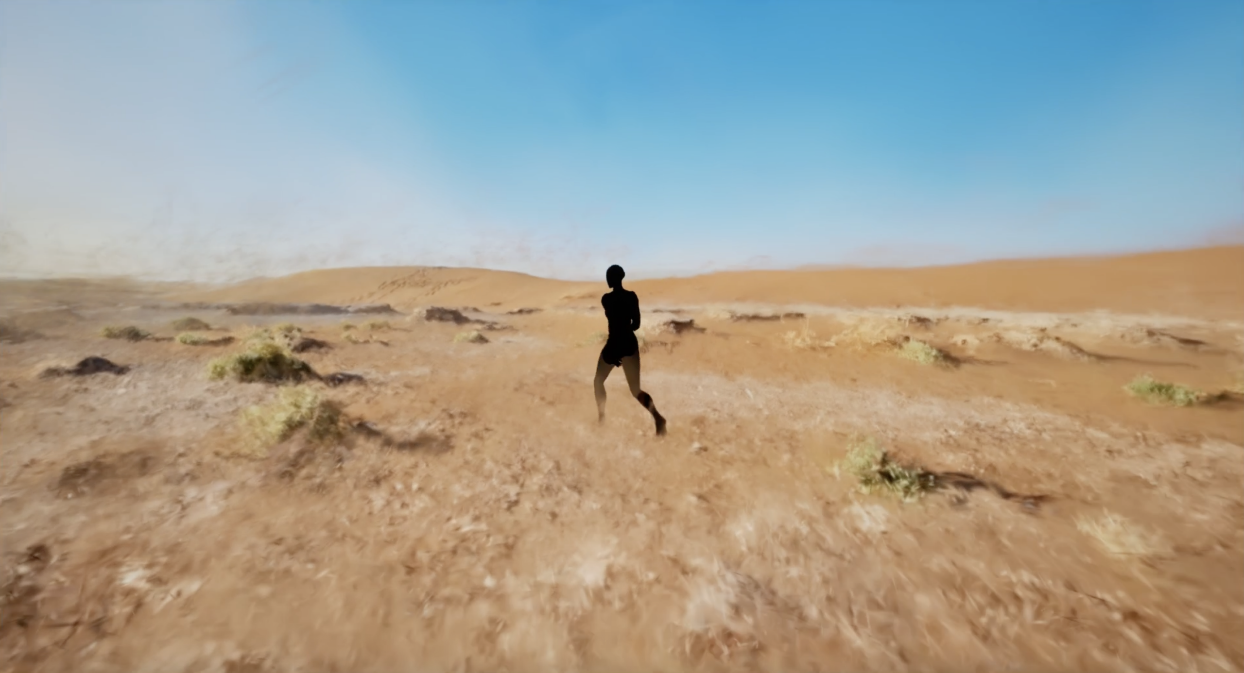
Se balader dans la reconstruction révèle ses limites.
Port-Blanc, Penvénan — the Rocher du Voleur.
Coastal cliff path, reconstructed with Gaussian Splatting.
- Only elements close to the capture path are rendered with precision: rock, path, sparse grass.
- The horizon remains blurred and unstable, entirely dependent on the viewer’s point of view within the scene — between sky, land and sea.
- The sea cannot be captured — constantly in motion, it escapes the algorithm that needs stable surfaces. From a distance it dissolves into a uniform field of blurred splats; up close it bursts into abstract particles. Directing the gaze toward the water, the sea becomes a field of particles composing a surface the algorithm never truly saw.
- Changing the height of the viewpoint in the scene reveals several layers of splats at different altitudes. The algorithm created these layers to satisfy different points of view from the dataset — traces of this view-based reconstruction logic.
- Images at the edge of the radiance field reveal the structure of the reconstruction: overhead views, low angles, from the margins of the captured zone.
- It is possible to have a view “from underwater” without ever entering it.
Walking through the reconstruction reveals its limits.
1 — Interactive scene
Gaussian Splatting — navigable scene (SuperSplat viewer)
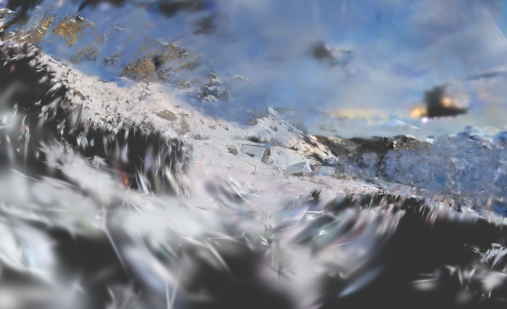
2 — Traveling through the reconstructed scene
Coastal cliff traveling — Unreal Engine, particle forces via TouchDesigner
Training
Method: Gaussian Splatting (PostShot)
Images: 1,020
Aligned: 785 (RealityCapture)
Splats: 1.6M
Capture duration: 4:47 min
360 POV frames: 277
Location: Port-Blanc, Penvénan, Côtes-d’Armor, Bretagne — outdoor / spring
Interaction
Player: Unreal Engine
Particle forces: TouchDesigner — MIDI to OSC
Processing
Post-clean: none
3 — Gaussian Splatting training
Gaussian Splatting training — 1.6M splats (PostShot)
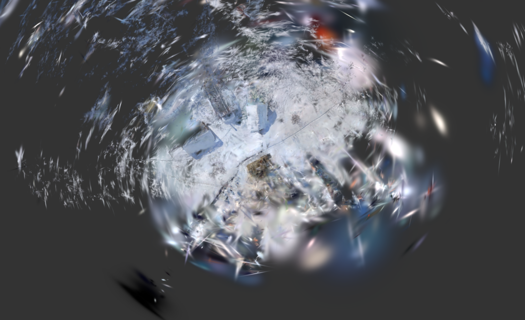
4 — Raw 360° capture
Source footage — Insta360 X4, equirectangular projection, 4:47 min
5 — Scene captures
Part of an ongoing research on navigable volumetric reconstructions and the limits of algorithmic capture.
Nicolas Mimault, Bagnolet / Paris · nmimault@gmail.com